General ecology
Triglochin palustris is a perennial wetland herb of pond, lake and sea shores, springs, rich fens, open mires, wet meadows and ditches. Its moisture association spans freshwater, mire and coastal habitats.
Sources: FinBIF / Laji.fi ↗
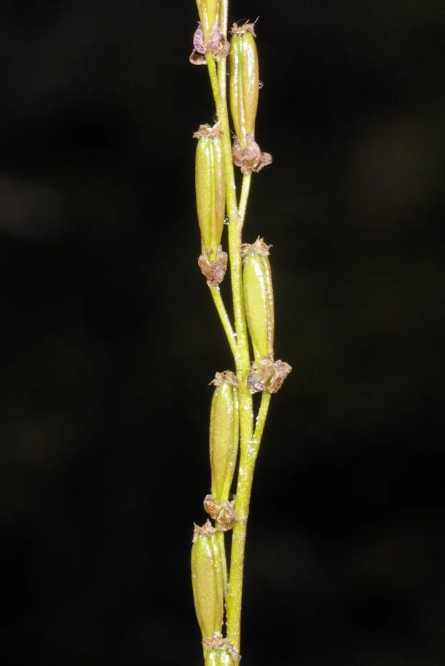
FinBIF accepted taxon · MX.40126
Coastal-meadow position
Occurrence uses the 30 sampled plots in each community. Community boundaries are not rigid; these are study observations, not a complete Estonian distribution. Study data and methods →
Triglochin palustris is a perennial wetland herb of pond, lake and sea shores, springs, rich fens, open mires, wet meadows and ditches. Its moisture association spans freshwater, mire and coastal habitats.
Sources: FinBIF / Laji.fi ↗
Recorded in 1 of 120 sampled plots.
FINBIF TAXONOMY
OUR MEASURED TRAITS
Trait values are pooled measurements collected during the 2024 coastal-meadow field campaign and are study observations, not fixed species constants. Only summaries with at least five measurements are shown.
This species did not meet the ≥5-measurement rule in the supplied CCI or leaf-area summary tables.
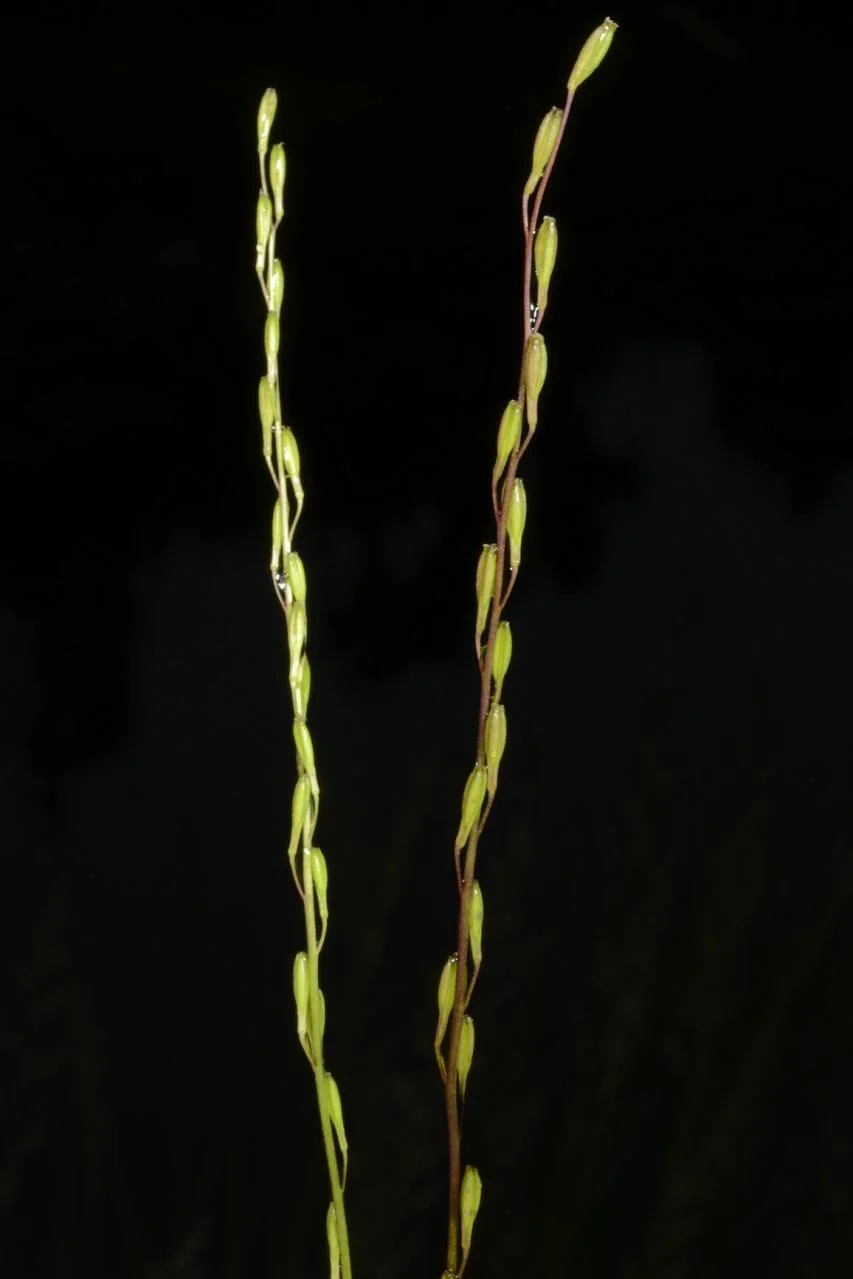
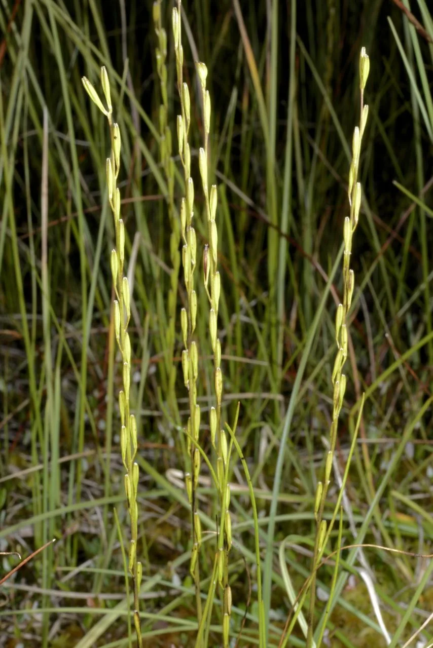
Licensed FinBIF photographs
These views complement the primary photograph above without repeating it. Use them alongside a regional identification key; photographs alone are not sufficient for a field identification.
FIELD DATA → EARTH OBSERVATION
These steps show what this record contributes to the 2024 study. They do not turn the taxon name into a remotely sensed measurement.
1 occupied plot has a positive numeric cover value available for occupied-plot cover summaries.
Neither trait met the documented minimum of five measurements for this taxon, so it contributes no species median to the CCI or leaf-area community-weighted means.
Plot-level ecological responses are paired with UAV predictors. A fitted model can estimate variation in those responses across the landscape; this record does not train a classifier for Triglochin palustris.
Interpretation boundary: UAV or satellite imagery does not uniquely identify Triglochin palustris in this study. Follow the complete field-to-EO workflow →