Occurrence uses the 30 sampled plots in each community. Community boundaries are not rigid; these are study observations, not a complete Estonian distribution. Study data and methods →
INDEPENDENT BOTANICAL EVIDENCE
General ecology
Linum catharticum is an annual or biennial herb of calcareous moist meadows, wooded and seashore meadows, dry pasture, rocky ground, gravel pits and limestone quarries. Its calciphilous ecology spans both moist and dry open habitats.
Trait values are pooled measurements collected during the 2024 coastal-meadow field campaign and are study observations, not fixed species constants. Only summaries with at least five measurements are shown.
No validated pool-wise trait summary
This species did not meet the ≥5-measurement rule in the supplied CCI or leaf-area summary tables.
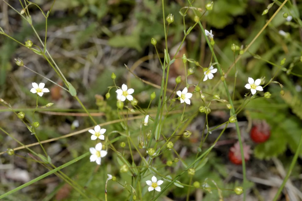
Licensed FinBIF photographs
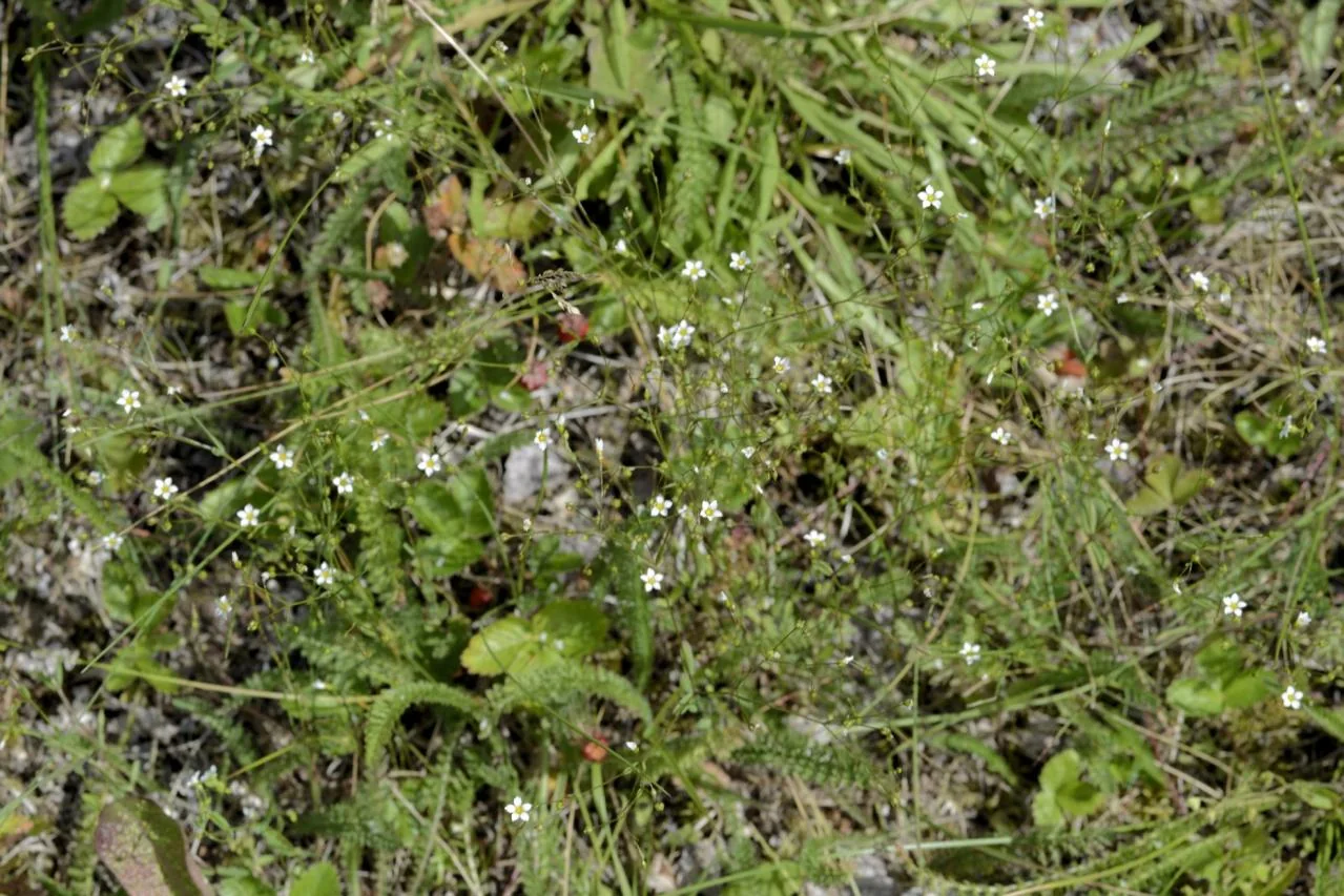
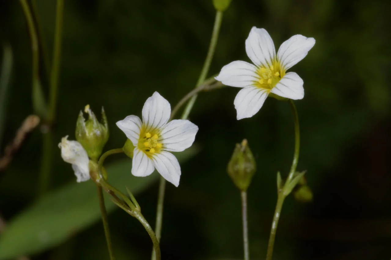
Additional photographs
These views complement the primary photograph above without repeating it. Use them alongside a regional identification key; photographs alone are not sufficient for a field identification.
These steps show what this record contributes to the 2024 study. They do not turn the taxon name into a remotely sensed measurement.
1 · FIELD EVIDENCE1 of 120 plots
Occurrence is verified, but no positive numeric cover value is available for an occupied-plot cover summary.
2 · TRAIT ELIGIBILITYNo eligible CCI or leaf-area summary
Neither trait met the documented minimum of five measurements for this taxon, so it contributes no species median to the CCI or leaf-area community-weighted means.
3 · MODEL LINKPlot response, not species detection
Plot-level ecological responses are paired with UAV predictors. A fitted model can estimate variation in those responses across the landscape; this record does not train a classifier for Linum catharticum.