Occurrence uses the 30 sampled plots in each community. Community boundaries are not rigid; these are study observations, not a complete Estonian distribution. Study data and methods →
INDEPENDENT BOTANICAL EVIDENCE
General ecology
Agrostis stolonifera is a perennial grass that may form mats on sea, lake and river shores, in ditches, spring-fed wet ground and salt-marsh habitats. It is associated with wet and riparian ground but is not confined to the coast.
Trait values are pooled measurements collected during the 2024 coastal-meadow field campaign and are study observations, not fixed species constants. Only summaries with at least five measurements are shown.
OUR 2024 MEASUREMENTS
Chlorophyll Content Index
1.1
Range 0.8–2.9 · average 1.18 · n = 69
OUR 2024 MEASUREMENTS
Leaf area
0.15 cm²
Range 0.041–0.922 · average 0.28 · n = 26
Licensed FinBIF photographs
Additional photographs
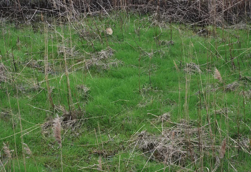
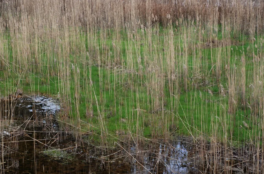
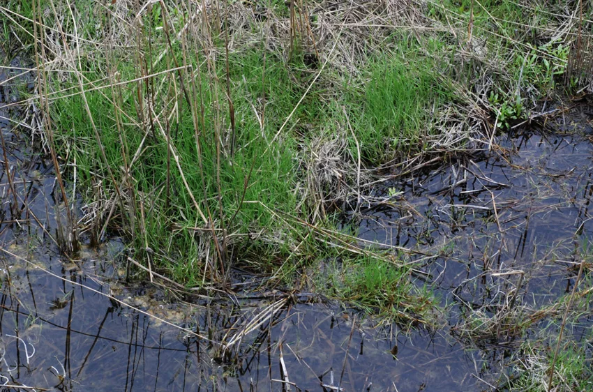
These views complement the primary photograph above without repeating it. Use them alongside a regional identification key; photographs alone are not sufficient for a field identification.
These steps show what this record contributes to the 2024 study. They do not turn the taxon name into a remotely sensed measurement.
1 · FIELD EVIDENCE67 of 120 plots
62 occupied plots have a positive numeric cover value available for occupied-plot cover summaries.
2 · TRAIT ELIGIBILITYCCI n = 69 · leaf area n = 26
Both traits passed the documented minimum of five measurements. Their species medians can be weighted by relative cover when constructing plot-level community-weighted means.
3 · MODEL LINKPlot response, not species detection
Plot-level ecological responses are paired with UAV predictors. A fitted model can estimate variation in those responses across the landscape; this record does not train a classifier for Agrostis stolonifera.